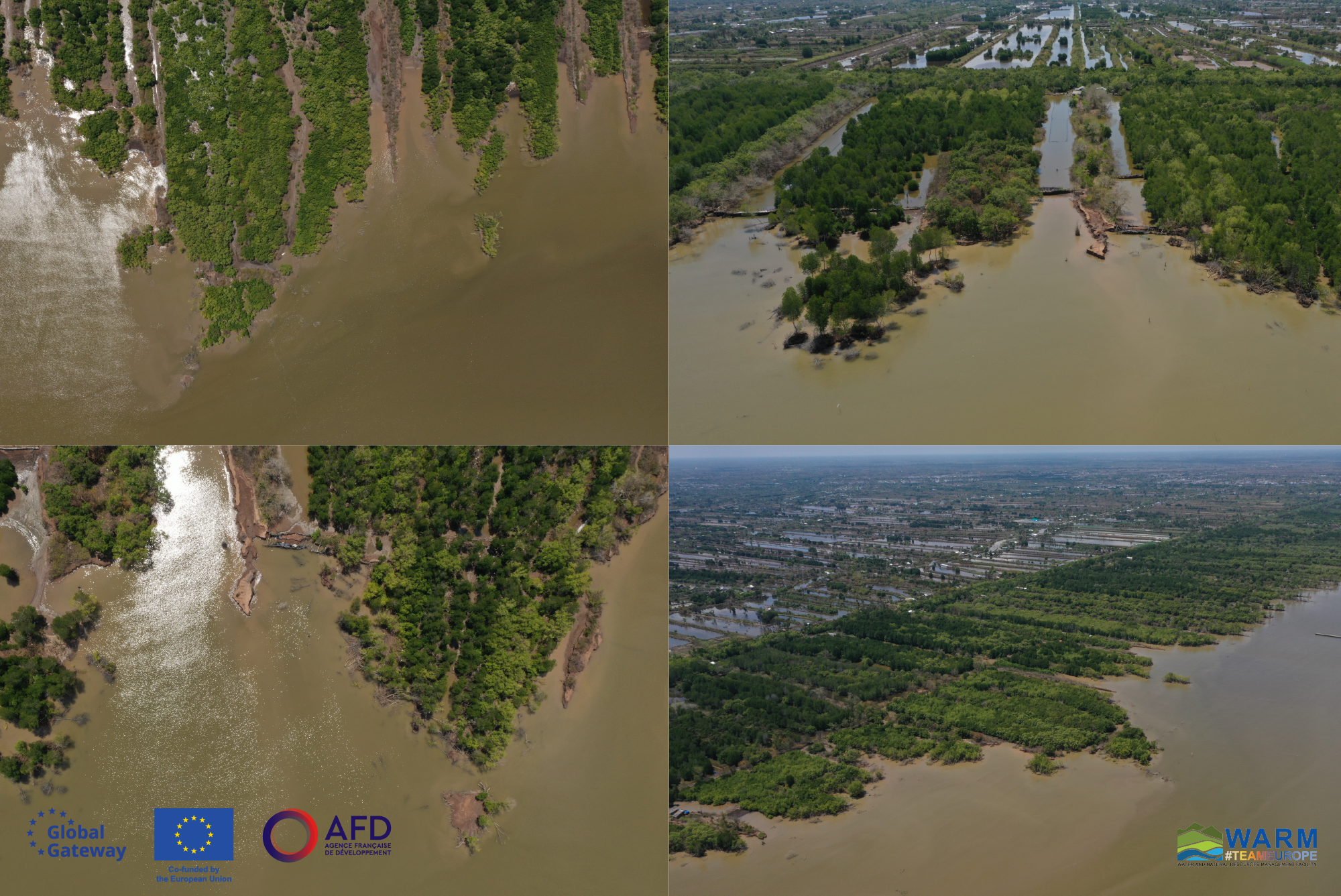
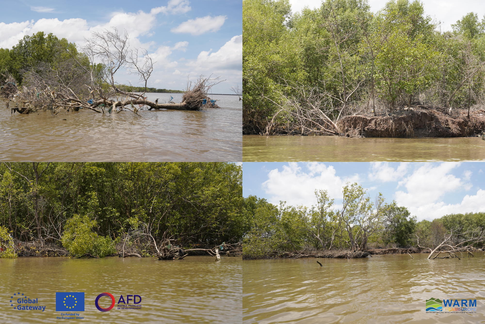
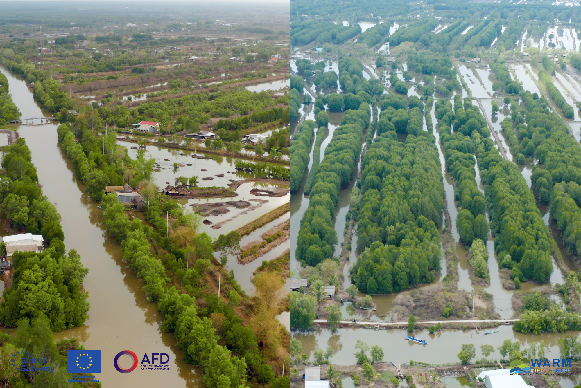
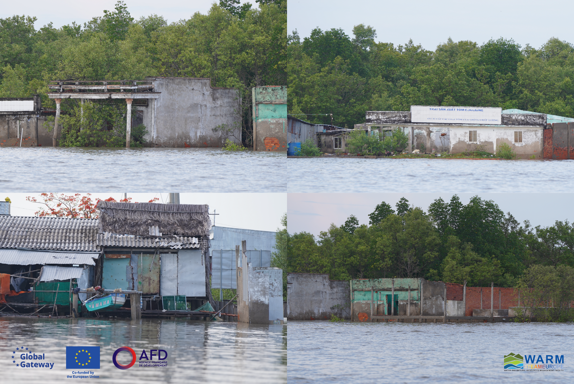
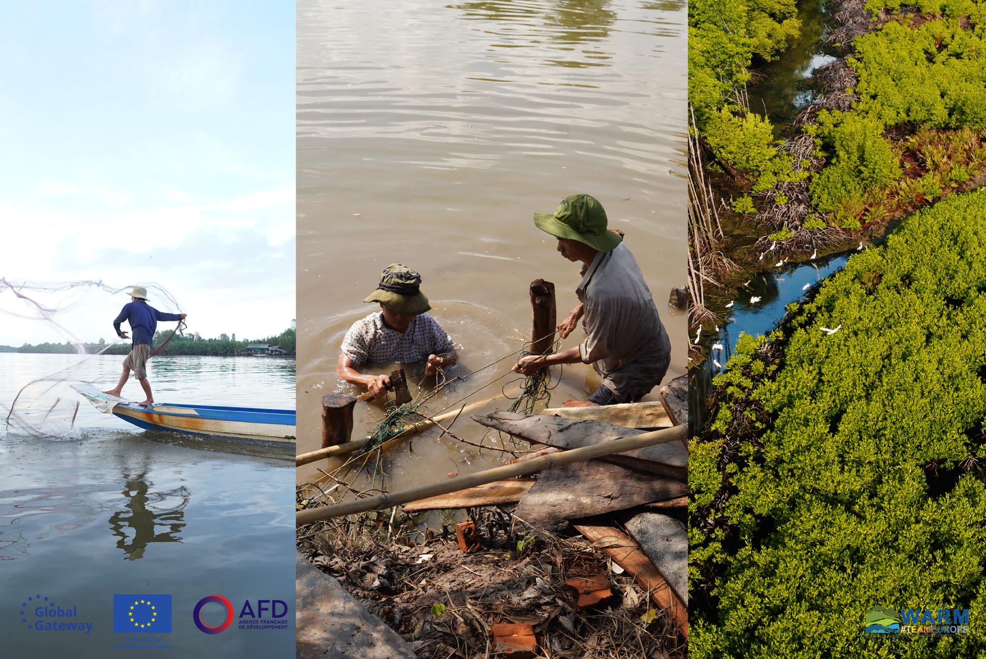
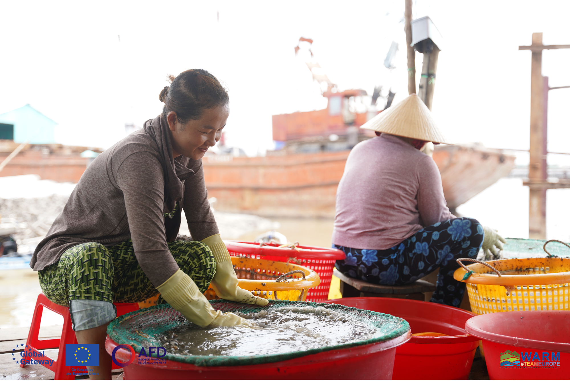
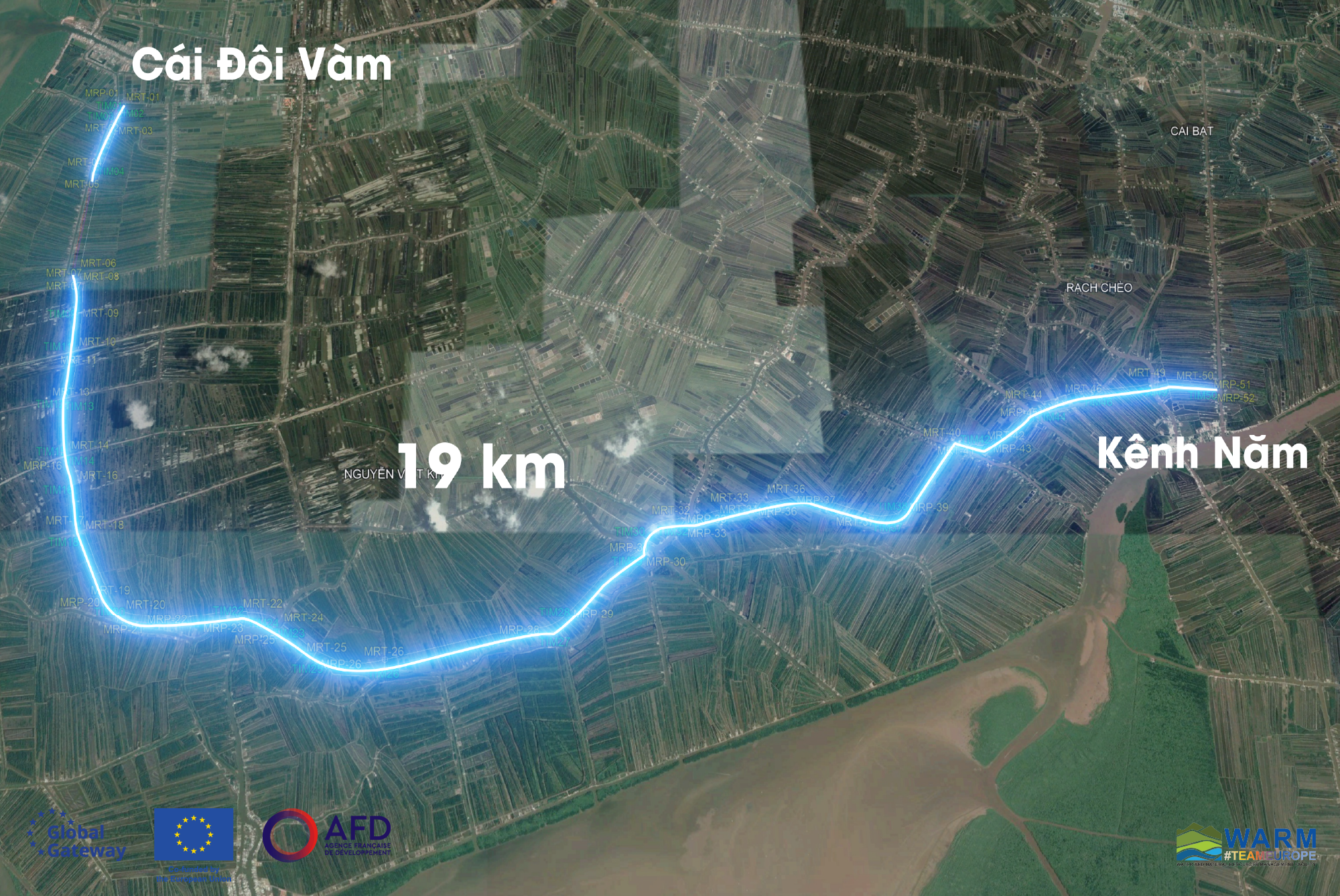
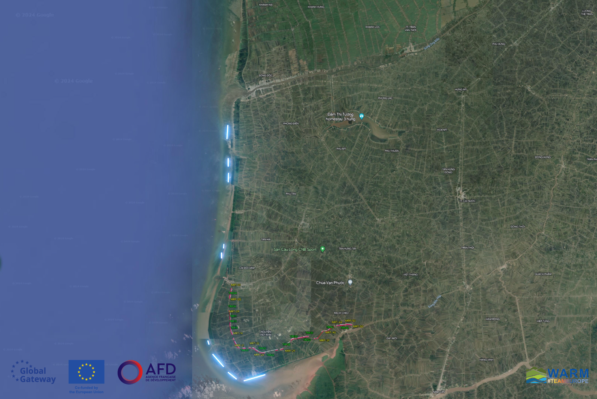
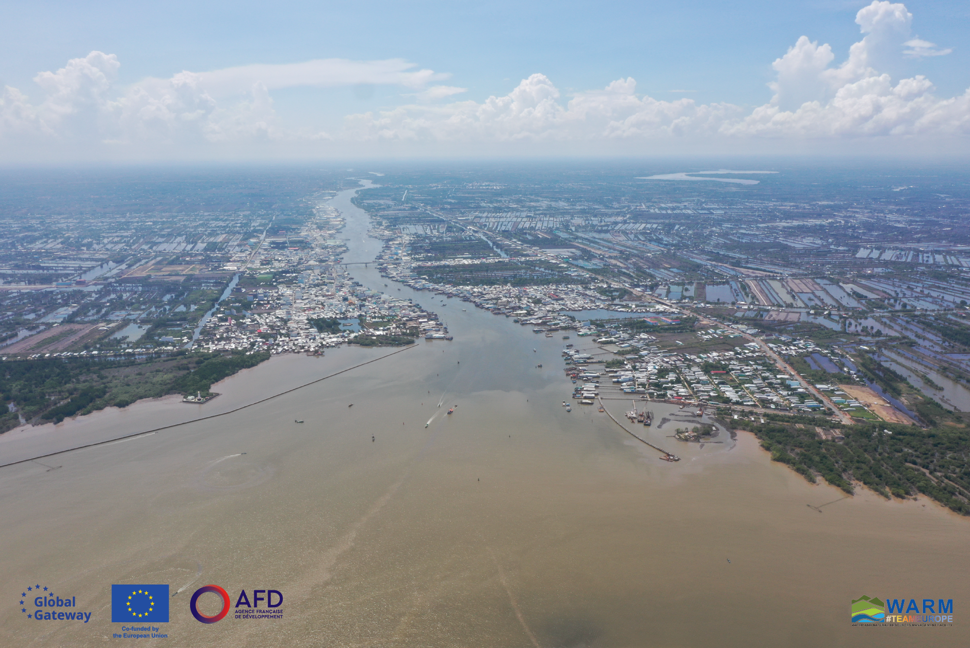
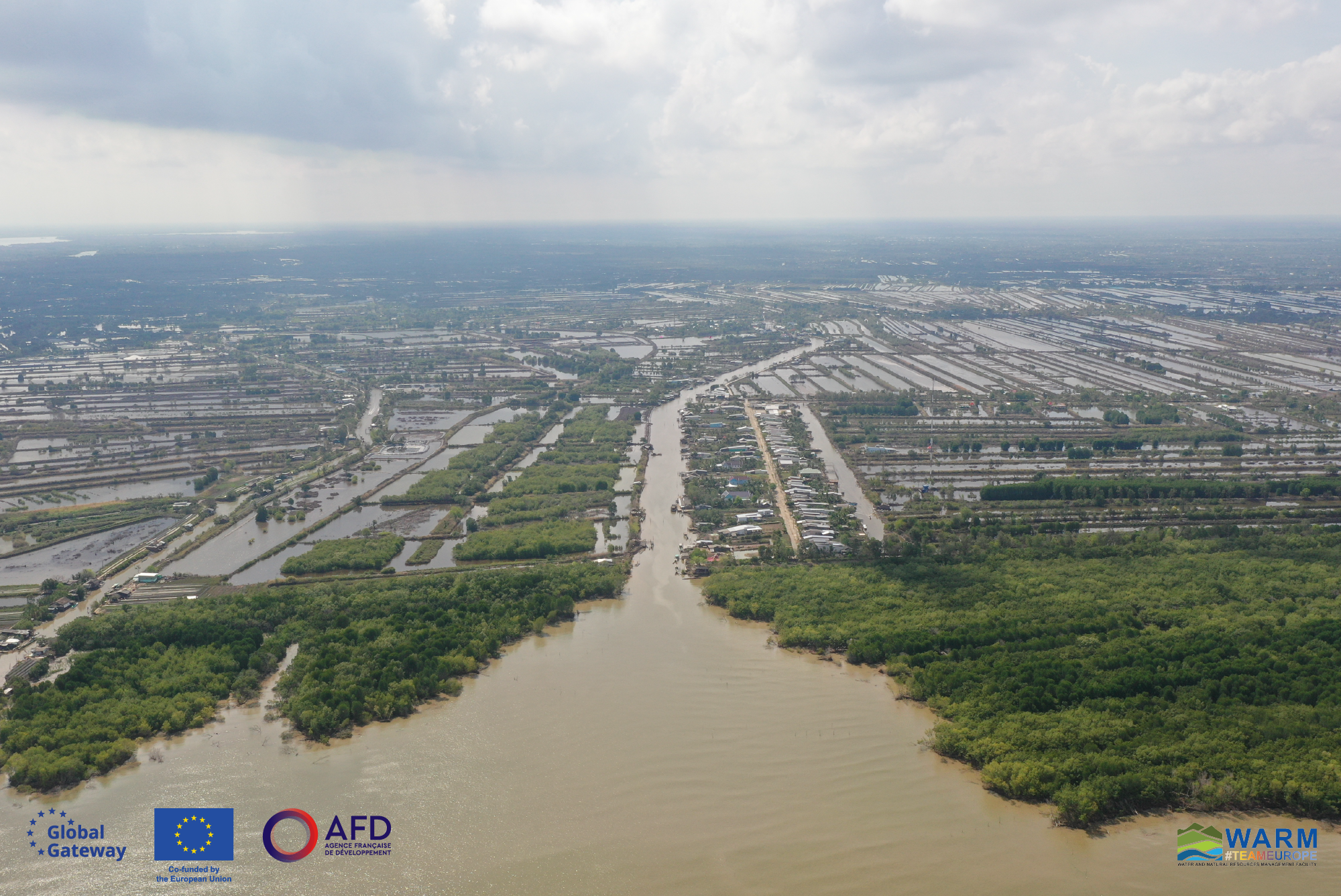
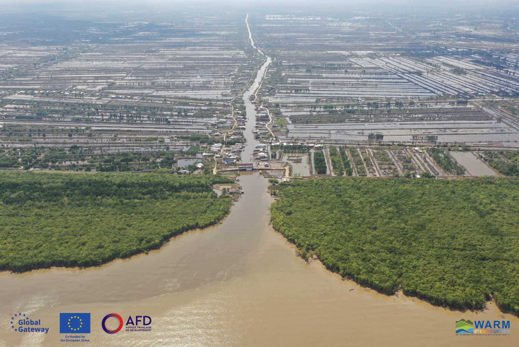
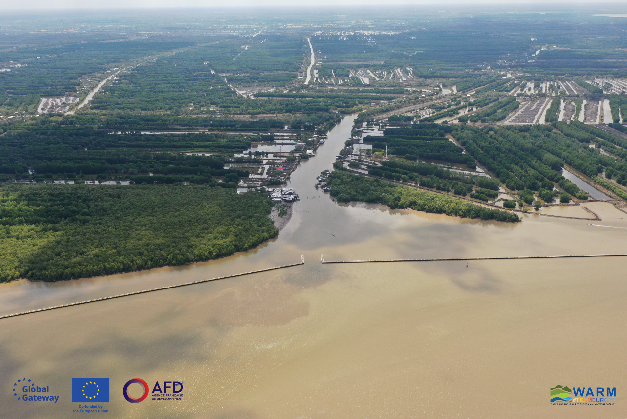
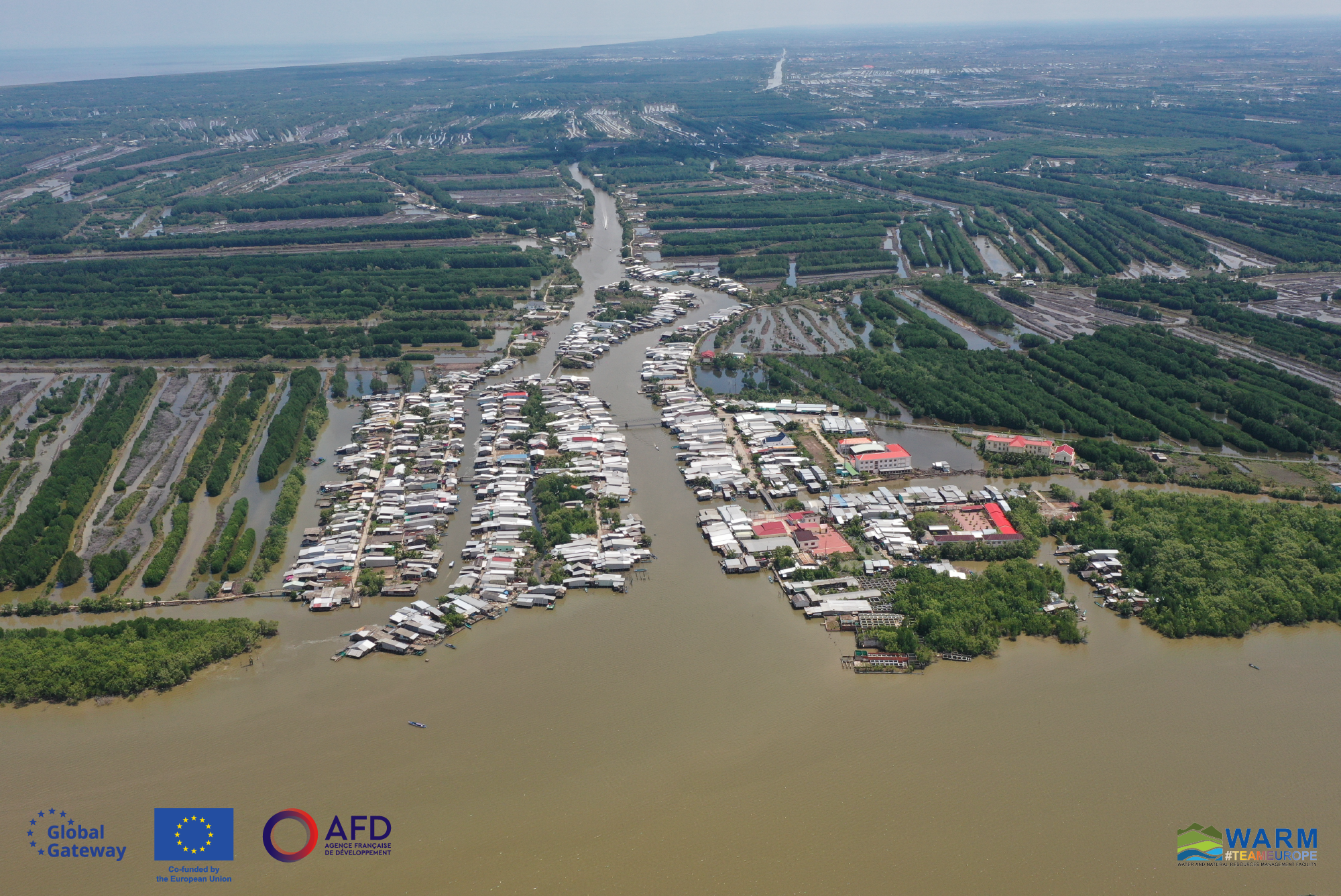
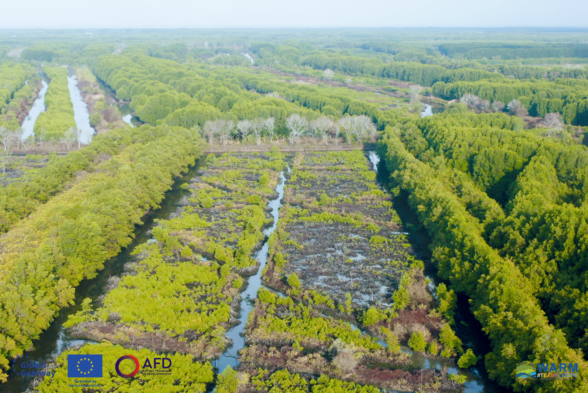
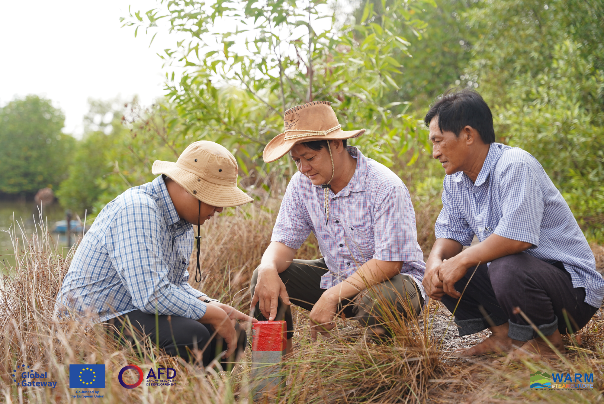
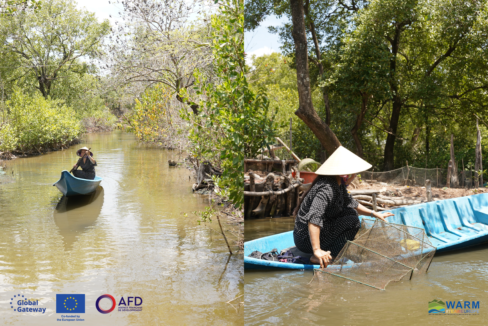
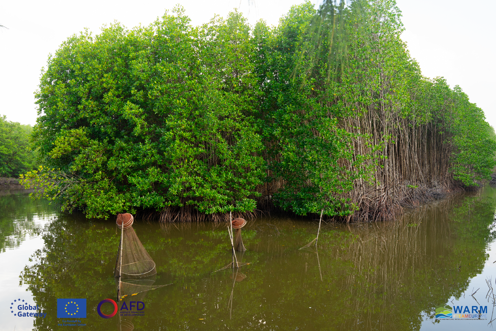
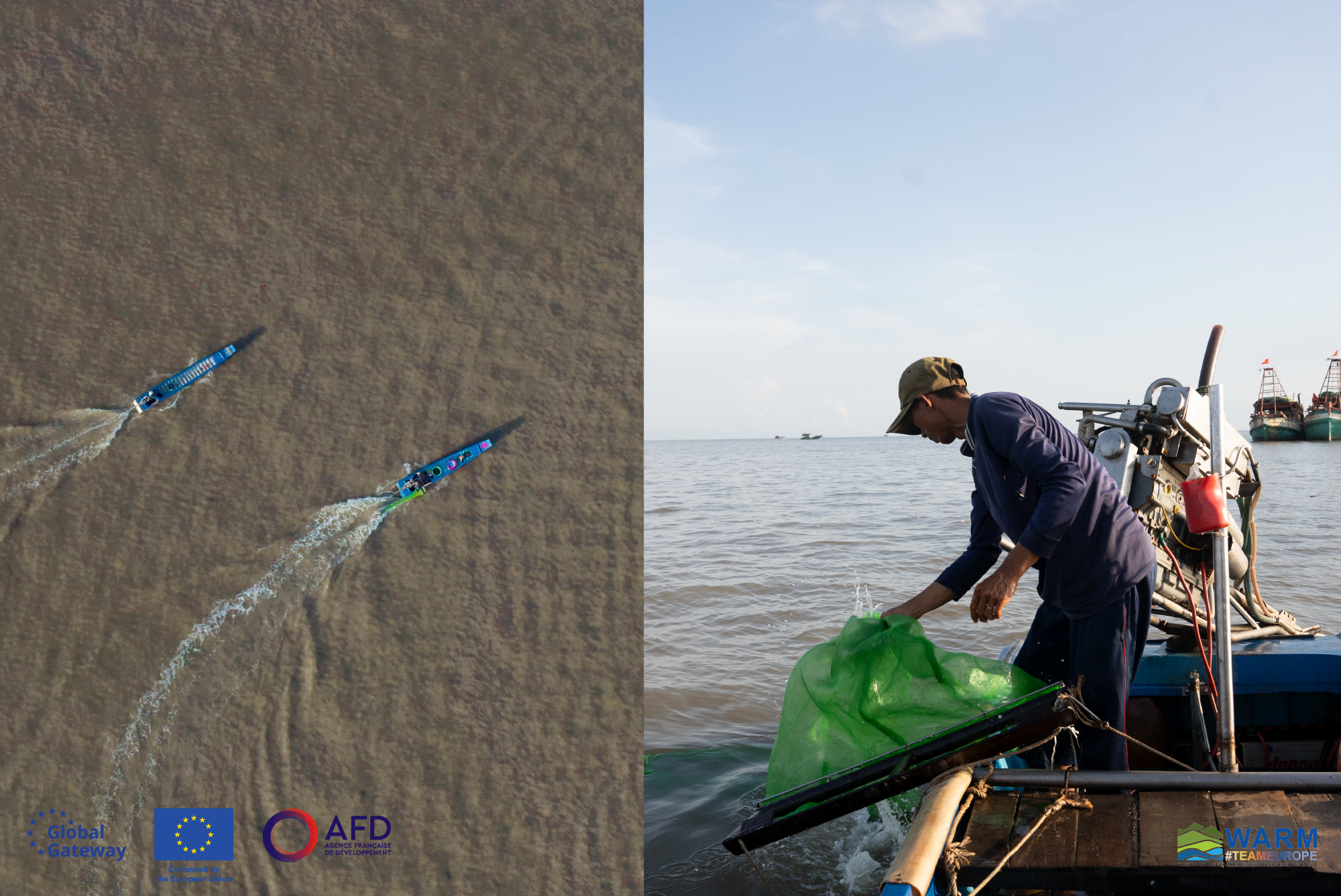
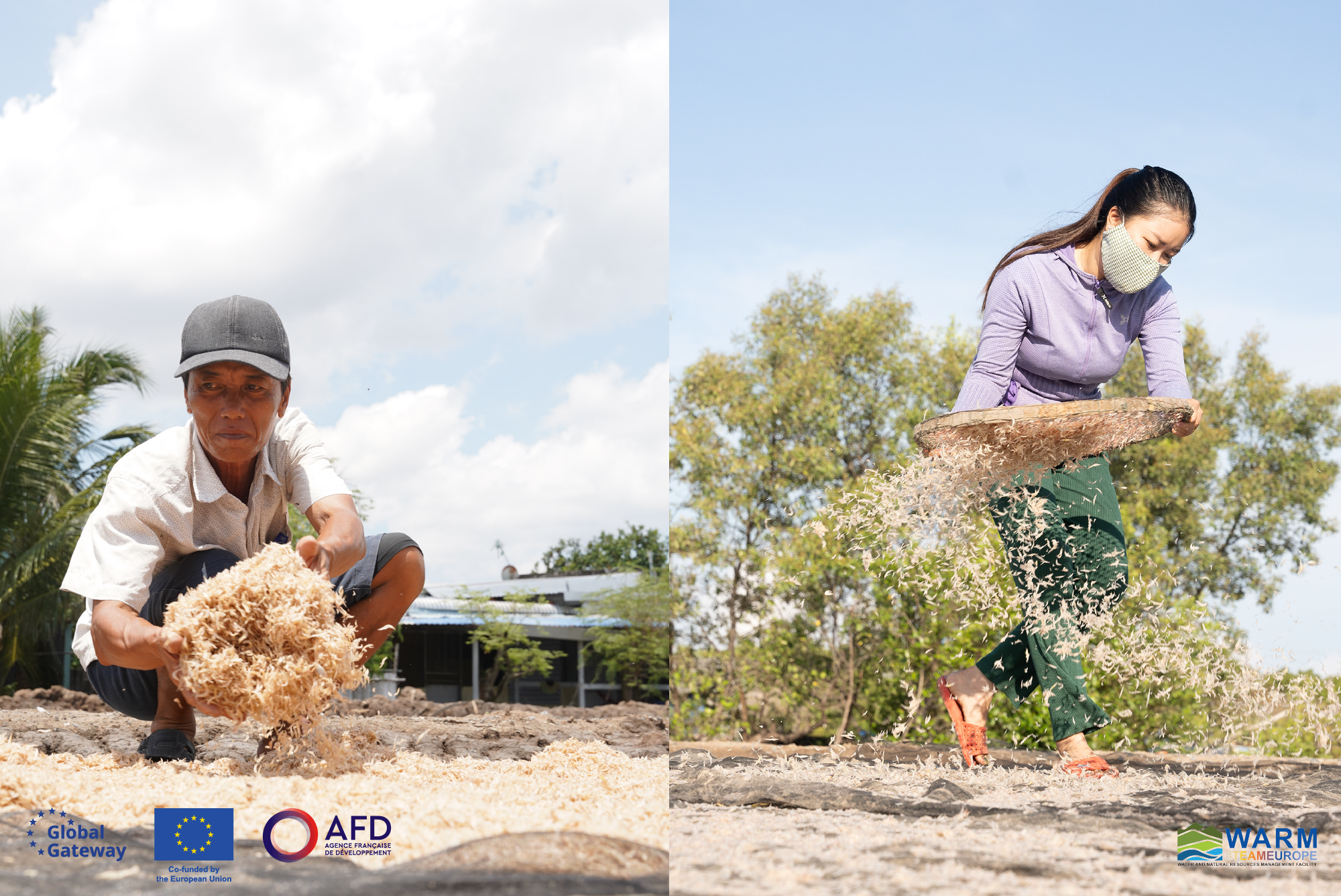
WARM PHOTOS
Project
Photos
The Tran Van Thoi and Phu Tan districts in Ca Mau are amongst the coastal areas most severely impacted by climate change.

Project
Photos
The intensity of waves crashing against the shore has resulted in the death of numerous mangrove plants, leading to a significant decrease in the area of coastal forests.

Project
Photos
Coastal protection forest belt near the Ong Doc estuary have suffered severe erosion due to powerful waves crashing ashore.

Project
Photos
Riverbank erosion occurs on a large scale. Many riverbank areas are currently at dangerous and extremely dangerous levels.

Project
Photos
Protection forests, especially mangrove trees, are cut down by local people to catch fish.

Project
Photos
At the Go Cong estuary, sea level rise, strong waves and strong winds have directly affected the production and lives of people in the area.

Project
Photos
The project aims towards the following goals: Protecting the lives and property of local people; Economic and social development; Protect the environment and local ecosystem.

Project
Photos
The lives of local people are closely linked to coastal forest resources. When there is an embankment, people feel more secure.

Project
Photos
A 19 km embankment will be constructed from Cai Doi Vam to Kenh Nam in Phu Tan district. This will create a road connecting the Cai Doi Vam town and Kenh Nam commune.

Project
Photos
Hard infrastructure solution includes constructing 11 km of centrifugal concrete pile breakwater and hollow breakwater model to minimize wave energy and facilitate sediment storage.

Project
Photos
A 2 km long embankment to the left from the Ong Doc estuary will be constructed.

Project
Photos
Two embankments of 2km long, on both sides of My Binh estuary will be constructed.

Project
Photos
Two embankments of 1km long on both sides of Cong Nghiep estuary will be constructed.

Project
Photos
Two embankments of 3.5km long on both sides of Sao Luoi estuary will be constructed.

Project
Photos
Two embankments of 3.2km long on both sides of Go Cong estuary will be constructed.

Project
Photos
In the non-structural component, 2,000 hectares of new protected forest along the west coast from Ong Doc estuary to Bay Hap estuary will be developed.

Project
Photos
Non-structural component also include improving disaster response capacity and promoting an integrated coastal zone management approach, project monitoring and evaluation.

Project
Photos
The project promotes livelihoods under the mangrove forest canopy like aquaculture, contributing to increase local people's income and enhance the effectiveness of forest management.

Project
Photos
Ca Mau will have opportunity to get more funding to reinvest in forest protection and development, develop livelihoods, increase income and improve the lives of the communities living in the forest area.

Project
Photos
A ban on unsustainable seafood exploitation occupations (fish catching, clam scraping) in coastal areas is being considered by the Provincial People's Committee to protect the coastal ecosystem.

Project
Photos
Join us in building a stronger Ca Mau province where coastal communities can thrive sustainably for generations to come!
